Spatial Hydrology of the Aral
Sea
Using Geographic Information Systems (GIS)
Sandra
Akmansoy and Daene
C. McKinney, PhD
Center for Research in Water Resources
University of Texas at Austin
June1997
1. Stream and Watershed Delineation
d.Burning in the DEM
An extra and prior process has been added to this methodology, and it
consists of burning-in the digitized streams that have been observed
in the field. This burning-in process consists of raising the elevation
of all the cells but those that coincide with the digitized streams. By
doing this, water is forced to remain in the streams once it gets there;
however, it is not forced to flow towards them. Extensive experience at
the CRWR has shown that the streams delineated using this improved methodology
represent much better the real stream network. This process consists of:
- Converting the line coverage of digitized streams into a grid (with
value 1 in the stream cells and NODATA elsewhere). Make sure that this
grid presents continuous streams (no gaps), does not involve short circuits,
and extends out of the study area.
- "Adding a constant value to the DEM. Merging the two grids together,
keeping the stream grid on top of the modified elevation grid, to obtain
the burned-DEM. To perform this task, an Avenue
Script has been prepared by Dr. Francisco Olivera.
The burned-DEM is shown here below.
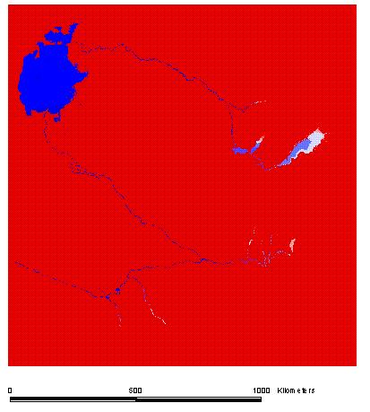
Figure 9: Burned DEM
Go to next Section
Go to Table of Contents